


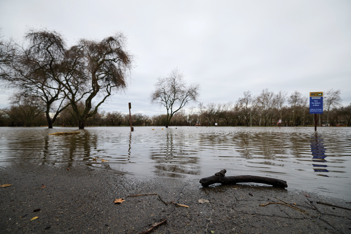
With a so-called “Super El Niño” already intensifying, some residents are worried, and state and local officials are gearing up for what might come.
The National Weather Service defines an El Niño as a phenomenon that occurs when ocean surface temperatures warm along the coasts of Ecuador and northern Peru, causing significant changes to global weather patterns. In California, El Niño correlates with higher than normal precipitation, particularly in the southern and central regions.
Specifically, the NWS cautioned in early October that the current 2026-27 El Niño has a greater than 83 percent chance of causing “a historic event that would exceed the strengths of previous El Niños dating back to 1950.” Gov. Gavin Newsom has begun issuing executive orders for work to be done to shore up the coastline.
Communities in the Capital Region that have already experienced weather-related havoc in living memory are paying attention.
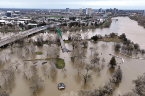
Gene Colver knows that it’s never wise to underestimate Mother Nature. That’s because in February of 1986, he found himself center stage of the most destructive, storm-driven flood to hit Sacramento County in the 20th century.
Gene Colver’s Deckhand’s Marine & Supplies in Walnut Grove became
a base for first responders during the flood of 1986. He recalls
boats sinking as the water churned high. (Photo by Jose Luis
Villegas)
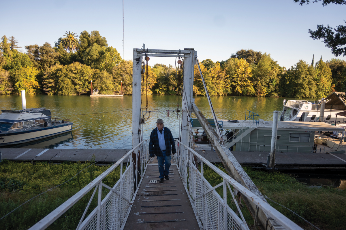
Colver and his wife, Mila, have owned Deckhand’s Marine & Supplies in Walnut Grove for 50 years. Their anglers’ store and boat repair shop, positioned near an oak bower on a levee overlooking the Sacramento River, happens to sit on one of the highest elevation points along the Delta. Its vantage point beside Highway 160 has given the couple a glimpse of some interesting moments in the estuary over the decades, but what happened in the winter of ‘86 remains vivid in their memories.
It started with a trio of tempests that began to roll in 72 hours before Valentine’s Day. Colver remembers his neighbors were alert as more than 10 inches of rain fell over an 11-day window. Once it became clear that levees near the Sacramento and Mokelumne rivers might be seriously tested, he recalls, many Delta dwellers wisely headed for safer ground.
Those who did stay tried to shore up defenses. Colver was among them, helping build a wall of sandbags on Dead Horse Island as the third atmospheric river crashed into the area’s sloughs, cuts and cross-channels. In Colver’s recollection, this happened just as upstream reservoirs released water and the estuary’s broader tidal flow rose from the bay.
Walnut Grove was in for some biblical challenges.
“The overwhelming floodwaters tore bridges from their foundations and punched through levees” is how Sacramento County officially documents the event in its water resources literature, adding that, across Northern California, the catastrophe forced 50,000 evacuations, caused $400 million in property damage and claimed 13 lives.
Colver had a more focused view of the action. “The waters overtopped Tyler Island and broke through,” he remembers. “At that point, boats were rolling over under the bridge and sinking.”
Since Deckhand’s sits on higher ground, it became a base for local firefighters, the California Conservation Corps and various state officials. “We built a mitigation levee along Walnut Grove-Thornton Road to keep the residents of Walnut Grove out of harm’s way,” Colver says. Boats were launched from Deckhand’s marina to find and fix emerging holes in the levees before they led to further collapses.
The efforts paid off. Thanks to residents’ caution, emergency responders and a lot of volunteer work, none of the deaths that happened during that flood were in Walnut Grove.
Since then, Sacramento County has experienced other flood-related tragedies. Just four years ago, as a cavalcade of winter storms battered the region, a levee 24 miles northeast of Walnut Grove failed near Highway 99. Waters from the Cosumnes River poured into the area of Wilton, overwhelming and drowning three people in their vehicles.
Yet in a region where residents are likely familiar with wildfire and earthquake preparedness measures, flood preparedness is often overlooked. While the City of Sacramento advises all homeowners to carry flood insurance, most don’t have it.
A regional effort
Public officials in the Capital Region have cited weather data showing that of the last six El Niños in Northern California, three were wetter, and three were drier than average years. This means it’s difficult to predict exactly how the coming “super” event will play out.
Macy Obernuefemann, senior public information officer for Sacramento County’s Office of Emergency Services, says that her agency has contingencies for the more troubling scenarios. The office has also been working hand-in-hand with reclamation districts within the county as El Niño approaches, particularly those responsible for levees along the Sacramento, Mokelumne and Cosumnes rivers.
“We’ve been getting regular updates from the National Weather Service,” Obernuefemann says. “We know from what they are telling us that they’re expecting a strong El Niño year, which means we could have heavy rains, floods and all the issues that come with that weather. … We’re in constant contact with the reclamation districts, as well as our departments like transportation and water resources.”
“We can look back at our previous floods, but the thing is, no event is going to be the same, and conditions can change very rapidly.”
— Macy Obernuefemann, senior public information officer, Sacramento County’s Office of Emergency Services
Obernuefemann adds that Sacramento County officials also have open lines of communication with neighboring county governments that historically deal with flooding, including Yuba, Yolo, Sutter and San Joaquin. In Yolo County, work crews have spent recent months cleaning key roadside ditches to help water move away from county roads.
“We’re no stranger to this,” she says. “So it’s important to have the conversations now. … We want to be prepared for if that weather does come.”
Additionally, the counties can receive backup from the California Governor’s Office of Emergency Services, which can activate a state operations center for emergencies, based at Mather in Sacramento County.
“As the state part of this, we work directly with our operational area coordinators, which is the counties,” says Sherri Sarro, deputy director of response for Cal OES. “All disaster responses start at a local level, whether it be a city or a county, and when they become overwhelmed they come to the state for assistance. … They can request resources that come in the form of tangible things such as sandbags or manpower for mutual aid like (state) law enforcement or firefighters or help with water rescues.”
Sarro adds, “If they’ve declared an emergency, they may need regulations waived or funding to assist them.”
Knowing the risk
The heat is intensifying on a bright October afternoon as the California Governor’s Office of Emergency Services and its counterparts in Yuba County government pin up grim photographs of the 1997 flooding of Arboga (now Plumas Lake).
Locals don’t expect this kind of dogged warmth in early fall, though in some respects, that is the point of the “Be Prepared Fair,” hosted on Oct. 8 in south Yuba County. Public officials organized it near the very neighborhoods where a New Year’s levee breach along the Feather River once triggered a seemingly endless wall of water spreading into the streets, along with the surrounding farms and ranches.
Local, state and county officials are working with the National
Weather Service to monitor the growth and pattern of this year’s
El Niño.
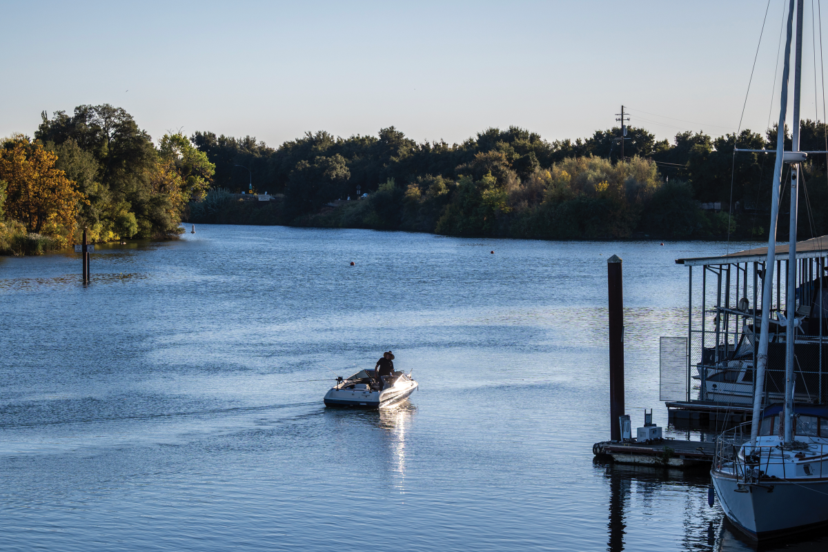
According to the Yuba Water Agency — one of the main organizations engaging the public at the fair — that incident cost three locals their lives, destroyed roughly 1,000 homes and inflicted millions in damages to the region’s economy.
DeDe Cordell, the Yuba Water Agency’s communications manager, has an easy time speaking with the residents who drop by her informational booth. Because she grew up in the Plumas Lake area, she understands as well as anyone the trepidation around floods. Cordell had just moved to Sacramento in 1997 for college when the massive disaster hit.
“My family lived right up the road from here, and we lost everything,” Cordell says. “They came to my apartment in Sacramento and crashed on my couch. So it is very personal to a lot of us at Yuba Water.”
Glancing around the turnout for the fair, she adds, “With events like this, what we really want to accomplish is helping people understand their flood risks, helping people understand the history of flooding in the community, and making sure they have thought about having a plan for what to do if there was a flood.”
Cordell stresses that the Yuba Water Agency constantly communicates with Reclamation District 784, the local organization in charge of monitoring and maintaining the levees near Plumas Lake. Whenever water starts rising, the district’s crews engage in nonstop patrols of the levees, checking for any problems that might need immediate intervention. The Yuba Water Agency has invested millions into levee improvements in the southern area of the county and has ensured that Reclamation District 784 has the funds and equipment it needs to carry out its mission.
The agency also closely coordinates with the California Department of Water Resources during extreme weather. Cordell says that when Yuba Water releases flows to reduce pressure on its reservoir, New Bullards Bar, it wants to make sure it’s in conjunction with releases being done by DWR at the Oroville Dam.
Yuba Water’s releases go into the Yuba River, and Oroville Dam’s go into the Feather River. Both watersheds are connected to the Sacramento River. Too much water being released at once, from multiple sources — especially during torrential rain — can have downstream impacts on levees across the Sacramento Valley.
“Our No. 1 priority is reducing flood risks in Yuba County,” she stresses. “We’re laser-focused on it.”
How to prepare
In Sacramento County, if a weather-related crisis imperils people or livestock, authorities will activate their emergency operations center. That move gathers all of the county’s departments onto one team, as well as community partners like the American Red Cross. Additionally, Sacramento County can receive backup from Cal OES.
For now, as El Niño continues to strengthen, the recommendations from emergency officials are the same: Sign up for local emergency alerts that can be delivered by phone; get familiar with the flood risks of specific neighborhoods and their respective evacuation plans; have a full “go bag” ready at all times for potential evacuation; monitor local storm drains and make sure your property is clear of debris.
They also recommend considering flood insurance.
From Obernuefemann’s perspective, the best approach is to take reasonable precautions while understanding that new or unexpected hurdles could also arise.
“We can look back at our previous floods, but the thing is, no event is going to be the same,” she says, “and conditions can change very rapidly.”
–
Stay up to date on business in the Capital Region: Subscribe to the Comstock’s newsletter today.
Recommended For You

Is Sacramento Ready for the Big One?
Levees and dams are being repaired and expanded to prepare for a future flood
Climate change is increasing the strength of Sacramento’s winter storms. Higher temperatures allow atmospheric rivers to carry more water, research shows. Climate change is also jacking up other flood risks, such as sea rise and snowmelt. All this is raising the chances of catastrophic flooding in Sacramento.

Stockton Is Behind in Flood Control
While Sacramento, another high-risk city, has invested billions into flood protection, Stockton has not
Stockton’s levees haven’t received a major overhaul since the 1990s, while Sacramento’s have received widespread upgrades in the last 20 years. “We think they’re in danger,” says Jane Dolan, chair of the Central Valley Flood Protection Board. “They’re behind on flood protection.”
This Collaboration Between Farmers, Water Officials and Environmentalists Is Saving Wildlife
The Floodplain Forward Coalition helps farmers help salmon while protecting water supplies
Water policy in California is defined by fighting. Plans to fix the system languish for decades, and if they’re implemented, they end up in court for many more years. The Floodplain Forward Coalition has broken out of that paradigm.

Sacramento Valley, Already Deluged, Braces for More Floods
Storms have already tested a region at high risk of flooding. One report says the Central Valley needs $30 billion in improvements over 30 years.
Drought and Deluge
Experts are racing to protect the Central Valley from a catastrophic flood
Unlike “The Big One” earthquake that is overdue along the San Andreas Fault, experts don’t have an ominous name for a flood of biblical proportions that is likely to inundate the Central Valley within the next 500 years.