

As a resident of fabulous West Sacramento, I was going to start this column with my standard opening line of “West Sac is the best Sac,” but flipping through the pages of our July ’92 issue, I found a quote from Val Toppenberg that said, “Cross-river bashing is not productive.” What a fun-killer.
At the time, of course, Toppenberg was the director of the West Sacramento Redevelopment Agency. He was fielding strong opinions and criticism about a plan put forth by the city and McCuen Properties to develop “The Triangle” (what we now call the River District), that would potentially include 7 million square feet of office space – plus lots of other cool stuff, like public transportation and access to that river.
Weird concept. Some people thought the plan would steal Sacramento’s thunder. I maintain that, if it weren’t for the new downtown arena, it very well could have.
The McCuen plan of the early ’90s called for a library, a new city hall, eventual light-rail and riverfront bike pathways, but “among the many innovative aspects of the Triangle plan, the most daring may be the emphasis on higher density housing,” wrote Comstock’s reporter John W. Ostrom.
At the time, high-density, high-quality urban housing was an untested concept in Sacramento. “It’s scary to do a pioneering project,” said McCuen project manager Amy Erixon in that story. “And the real reason downtown developers don’t want to do it is that it’s pioneering — and they say pioneers get all the arrows.” Yea. It’s the freakin’ Wild West over here in West Sac. You east-bankers have been saying that for years.

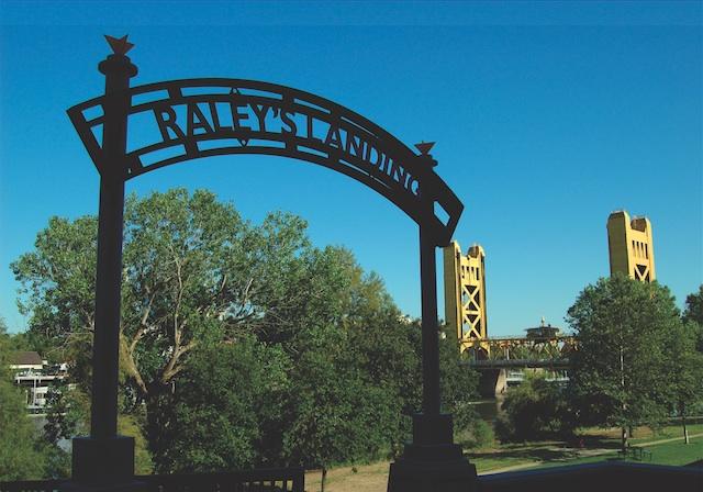
The opening of Raley Field in 2000 with private financing of nearly $30 million provided a much-needed catalyst to the river front. Fast forward to 2007, and progress within the Triangle would be called within our pages “a shining example of modern smart growth.”
In 2007, a revised Triangle Specific Plan created a new funding partnerships and more riverfront projects, including the $270 million California State Teachers’ Retirement System headquarters and the Ironworks Lofts condos. With a $23 million grant from Proposition 1C in 2008, the city started a series of major public works to remove development barriers like railroad tracks.
By our next update, in February 2012, several more key projects had been completed. Laying the infrastructure had transformed the district, “giving people a vision of what this neighborhood [would] be.”
The city finished building one phase of the River Walk Trail, and The Park Moderns residential project of 32 single-family residences and 96 apartments, began preselling in January of this year.
Mayor Cabaldon says the Bridge District “is one of our region’s strongest bets for long-term economic prosperity, and I’m bullish on it.”
(Photo: Jayson Carpenter)
")
Ditto.
Framed by the West Sacramento River Walk, Raley’s Field, 5th Street and Pioneer Bridge, the property now also features West Sacramento’s newest inner city park, Garden Park. Steven Jaycox, the design director for Fulcrum, the Bridge District’s developer, said in our November 2013 issue that the district “may force Sacramentans to redraw the map of Sacramento,” and in their mindseye include West Sacramento’s riverfront in their vision of downtown.